Tuesday, December 25, 2007

MERRY CHRISTMAS, HAPPY HOLIDAYS!!!


From the four of us - Chris, Rikki, Fox and Spencer - we wish you all a wonderful holiday season and a prosperous New Year!

Be adventurous, live healthy and explore. Go out and discover a new world for you this 2008!

Hey, we'd like to see YOUR pictures! Share us some photos of what you did this Christmas or New Year and we'll post them here during the holidays!

Please include the following: 1. Photo(s) 2. Names and/or Description 3. Link to your website or photo albums and 4. Your Location

Send them to rikki@Traveling12Feet.com (or reply if you're getting this as an email) and share your holiday photos with everyone! We'll post the pictures here in the coming weeks!

Monday, December 17, 2007

Alabama Hills: In Pursuit of Cowboys, Big Monsters, and Space Aliens

The town of Lone Pine, aside from being the gateway to Mt. Whitney, also has one big gold star pinned on its bosom to brag about: A Hollywood star. Between the steep, eastern escarpment of the Sierra and the town of Lone Pine are the Alabama Hills. This is the other side of California: the high deserts embraced by endless scenic mountain ranges. Because of its barren beauty - giant granite boulders, windswept grasses, wildflowers and even occasional meandering streams - Alabama Hills have been a constant filming location for the big screen, television, and even video games.


Close to 500 movies have been made here, dating back from 1920 ("Cupid the Cowpuncher" with Will Rogers), all the way to the present ("Adventures in Wild California" in IMAX). Its impressive list contains "Gunga Din" with Carry Grant, Gene Autry and the Lone Ranger, "Rawhide" with Clint Eastwood, "Gunsmoke", "Tremors" (<--- oh this place will just remind you of it!), Star Trek V and VI, G.I. Jane, Gladiator, "Dinosaurs", the list just goes on and on... But in its humble beginnings, it was the western movies and their celluloid heroes that really endeared Alabama Hills to the heart of Hollywood itself.

Can Chris outrun these rocks?

The Alabama Hills was named by local miners after a Confederate warship (responsible for wreaking havoc to northern shipping) during the Civil War. It has nearly 30,000 acres of public land, with "rolls" and columns of smooth granite rocks as far as the eye can see!
You'll probably recognize Alabama Hills even if you haven't been to Lone Pine:

See it for yourself! Click the photo above for a 360-degree Virtual Reality view. Drag your mouse to move your own camera! (Opens on separate window and requires Quicktime Player)

This place - Lone Pine, Mt. Whitney and Alabama Hills - has been a magical treat for us. We definitely had both a relaxing and adventurous time here, exploring the town, star gazing on a dark night with a clear sky, hiking and sight-seeing, investigating old mines, rock formations, and scenic off-road routes. If we weren't as determined as we are to get to Death Valley, we would have stayed here longer. Say, six months enough?


As we rode off to the sunset in true western fashion, we tipped our hats off to Mr. Rogers and Mr. Wayne, and in the fading distance, Lone Pine.

Death Valley, here we come!...


Check out these links!
- More pictures of Lone Pine, Mt. Whitney, and Alabama Hills
- List of movies made in Lone Pine
- Alabama Hills in 360-degree Virtual Reality
(Courtesy of Don Bain's Virtual Guidebook)
- The most famous rocks in movie-making history


Subscribe now if you haven't yet. Click the button above and enter your email address, then check your email for a confirmation. You only need to do it once and it's FREE!

* Click photos for bigger versions. All photos and content copyright 2007 J. Reque and C. Foley unless otherwise stated.
Traveling12Feet.com

Friday, December 14, 2007

Mt. Whitney: The Highest Mountain in the Continental U.S.

Aaah. My Ansel Adams moment.

At nearly 14,500 ft. above sea level, Mt. Whitney, the most frequently climbed peak in the Sierra Nevadas, provides a gorgeous backdrop to the charming little one-horse town of Lone Pine, CA. This is our second opportunity here, and this time with the fall colors and the snow coming in, our experience is even more breathtaking than the last.

Looks familiar? Next time you cool off with a cold bottle of water, look closely at the label! Chances are you'll see the mountains above. Next to Mt. Whitney is Olancha Peak, a protected source in the Sierra Nevada Mountains. A major US bottling company began sourcing from its spring to produce bottled natural alpine water. Now you know how "refreshing" this place is!
We camped in one of Lone Pine's finest RV park for the second time. During the daytime we explore the town, imbibe local history, experience some western town flavor and of course (and I do mean OFF-course!) search for roads less traveled for some off-road, 4-wheeling and sometimes fist-clenching excitement.

For Fox, wearing the red scarf is analogous to going out. He loves hikes like these where he can be free to roam around and explore by himself close by.

Mt. Whitney marks our official journey in search of the highest and the lowest elevations in the continental US. We've already seen the highest point, but before we continue to Death Valley National Park a few hundred miles away to see the lowest, we explore the other fascinating treats Lone Pine has to offer.

Next stop, one of the most recognizable movie sets in Hollywood: Alabama Hills!


* Click photos for bigger versions.

Subscribe now if you haven't yet. Click the button above and enter your email address, then check your email for a confirmation. You only need to do it once and it's FREE!

All photos and content copyright 2007 J. Reque and C. Foley unless otherwise stated.
Traveling12Feet.com

Saturday, December 8, 2007

Good Night, San Diego

Sunset at Chula Vista, right outside our RV bedroom window.

I must say, with a view like this how can you not love this place?

And how can we not love what we do?

My mom asked me, "Are you enjoying yourselves?", concerned about how exhausting it must be for us to be on the road, driving from one place to another. I thought of this photo. It's a simple photo. We go through sunsets 365 times in a year. For most of us we practically see it everyday (I hope). But it's what we see when we look that really makes a difference, so my answer, in a heartbeat, was "Yes!"

San Diego skyline at night from Harbor Island.

We left for Tustin, OC to visit Chris' dad the following morning, en route to our major destination, the Death Valley National Park. But like that sunset, there's so much more than just seeing it, or for this case, getting there. It's about discovering what lies along the journey. Every time we leave a place there's a certain sadness. Once we hit the road, anticipation... then, excitement. It's a cycle we go through, just like 365 days of sunrises and sunsets, but we assure you it's different all the time.

This is why we travel.


Subscribe now if you haven't yet. Click the button above and enter your email address, then check your email for a confirmation. You only need to do it once and it's FREE!

All photos and content copyright 2007 J. Reque and C. Foley.
Traveling12Feet.com

Thursday, November 29, 2007

Anza-Borrego: California's Largest State Park


The Other Side of San Diego County

We headed south to see my parents in San Diego and took them on a three-day getaway for their two firsts: an RV experience and a trip to the desert. What better place to take them than the second largest State Park in the US: Anza-Borrego Desert State Park, on the eastern side of San Diego County.


Anza-Borrego Desert State Park

Named after 1) Juan Bautista de Anza, a Spanish explorer who forayed against Native Americans (“Look, new territory! Let’s chase after the original non-white inhabitants and claim this land as our own!”) during his exhibition in the western US and 2) the Spanish name “Borrego”, or Bighorn Sheep, one of present-day's four-footed inhabitants of the area.

This rich wilderness provides visitors with an opportunity to experience the wonders of the California desert.


Before Juan Bautista “JB” de Anza, the first European to establish an overland route from Mexico (through the Sonoran Desert) to the Pacific coast of California, the new world explorers had been tormented seeking such a route for - drum roll, please - more than two centuries!!! So here’s to you, JB, for discovering and blazing that trail with missions and presidios and paving the way to the establishment of several towns and cities such as Tucson, Monterey, San Francisco and San Jose.

Mimicking his famous call, "¡Vayan subiendo!" ("Everyone mount up!") as we tour this fantastic (may I mention delightfully cold - as you can see from our wardrobe) desert state park.


Fox Vs. Cacti


Unfortunately, the more imminent dangers of the desert is not obvious to everyone, especially our dog Fox. He had a disastrous encounter with a certain extra-spindly succulent, and struggling to remove it from his leg, he got it on the outside of his mouth causing him to stumble backwards and sit on even more cactus! YOUCH! The poor dog yelped in pain and shock, and the next four hours of that night were spent with my dad, mom, Chris and myself removing stickers and spindles from Fox, finding them amongst thick fur, and trying to subdue and pacify a confused/hostile spike-infused dog.

Needless (or is that 'needles'?) to say, our dinner barbecue that night turned out to be a barb-rescue! LOL. Okay, I should totally get someone else to write for me. During all this, our cat Spencer cautiously watched from a distance, but later on was his usual, calm and affectionate self.


Fox recovered more quickly than the rest of us and is doing very well. Up to now, I still have memorabilia on my arm of that thorny episode.


Click here or the pictures above
to see the rest of the photos on Flickr.


Subscribe now if you haven't yet. Click the button above and enter your email address, then check your email for a confirmation. You only need to do it once and it's FREE!

All photos copyright 2007 J. Reque and C. Foley.
Traveling12Feet.com

Wednesday, November 21, 2007

HAPPY GOBBLE-GOBBLE!!!


Our wonderful Photo Banner is now up and running at Traveling12Feet.com!!!

For those of you who are receiving our updates through email, take some time when you can to visit the site, see our new logo and play with the photos. You can click the banner to change the photo on top of the blog page. The photo above is a small sample of the banner.

This has been an eventful and adventurous year for us, and we'd like to thank you - our family and close friends - for all the love and support you share. As far as the site is concerned, we have received several offers from other companies to advertise with us (they put their ads on our blog page), but we've decided to keep this site as simple and uncluttered, especially with ads. Our way of assuring you that we try our best to keep information private (such as email addresses for example) and focus on sharing our life events with you, our family and friends, rather than aiming to acquire more outside hits. Of course, visitors are always welcome, and we invite "passers-by" to look around and get to know us, as well as interact and leave comments.

We hit the road again for the deserts of Southern California this Saturday, and getting the RV ready for its nearly one-month adventure, but in the meantime, we'll be enjoying the company of friends to celebrate some turkey-turkey!

From Chris, Rikki, Fox and Spencer - HAPPY THANKSGIVING!!!


Subscribe now if you haven't yet. Click the button above and enter your email address, then check your email for a confirmation. You only need to do it once and it's FREE!

Tuesday, November 13, 2007

Updates From Your Traveling 12 Feet


Over the weekend we had the great opportunity to meet 2 of my most favorite photographers: Jim Zuckerman and 
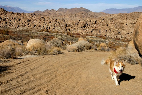
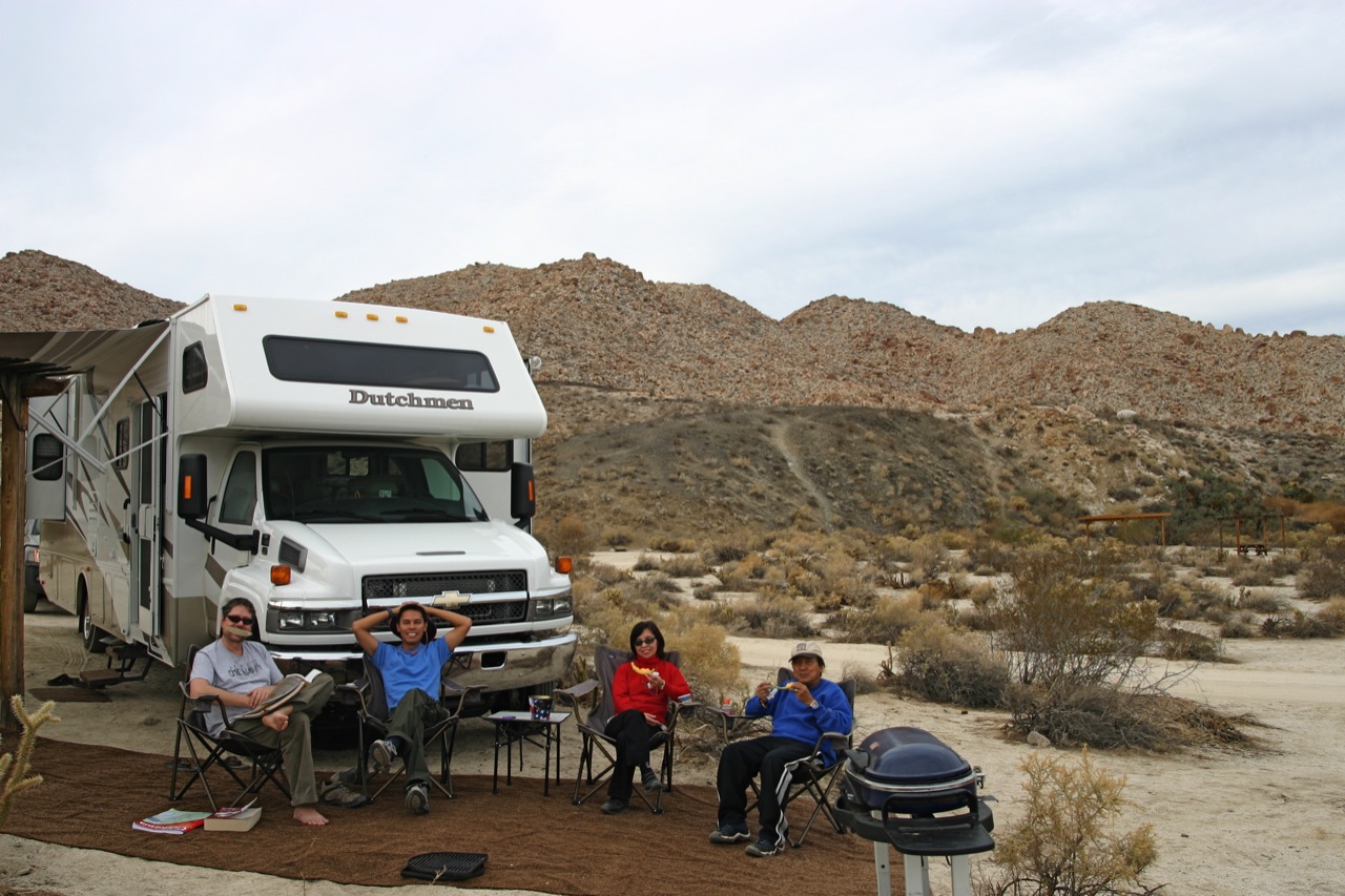
Bruce Dale, in a 2-day digital photography seminar in San Jose. Naturally, all 12 feet were there since we decided to bring the RV with Fox and Spencer instead of staying at a hotel.

Again, being able to simply grab your car-house and pick a place to stay (...hmm. Or "park") in where you have the convenience (and comfort!) of home (no need to pack, even!) and at the same time travel with your pets, beats searching for the lowest priced hotel in the area. (Take that, Expedia!)

The Outdoor Photography Seminar was a success, and we picked up a lot of good tips. The best part of course was interacting with these renowned photographers personally. Jim Zuckerman (left photo) almost became a doctor, but chose to be a photographer instead. He never regret it one bit. I admire him for his bravery and his adventurousness. Bruce Dale, a National Geographic photographer for 30 years, is daring, resourceful, and very imaginative and lots of fun! Both of them have been to the Philippines and have told me a little bit about their experiences there.

Jim signed my book, and Bruce signed a special magazine that I'm giving as a gift to my brother in the Philippines. I also got Bruce to take a snapshot of us - cool huh? One of the world's internationally recognized photographer actually held my pocket camera and took a photo of him next to me! "Mr. Dale, you're my idol", I said. "Wow", he said. "What did I do?" he followed jokingly. Cheers to you, Mr. Dale. Thanks to you both for the inspiration and all the valuable knowledge you've shared with us.

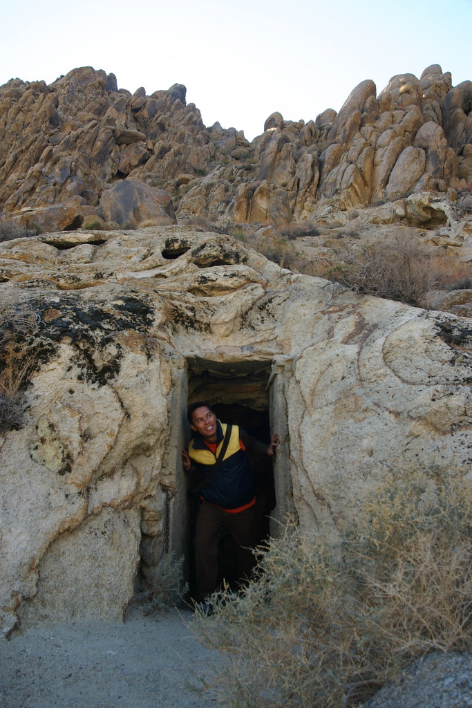
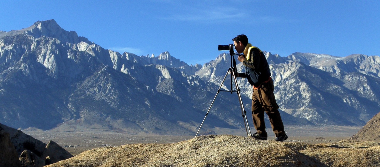
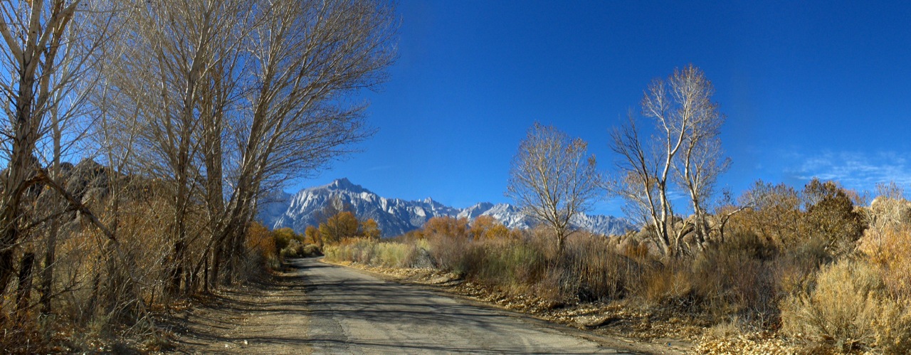
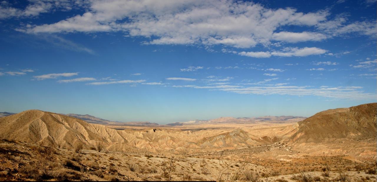
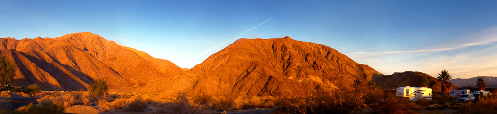
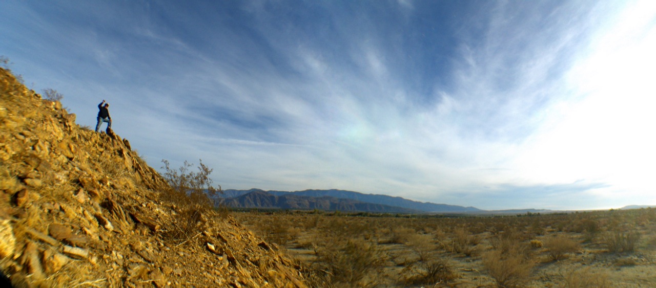
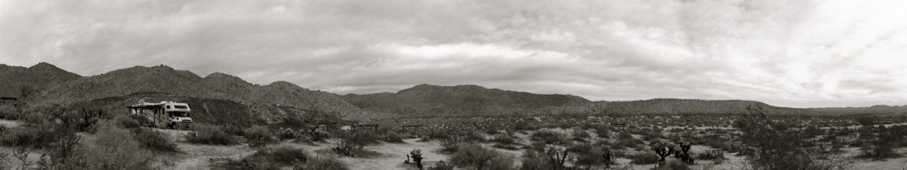
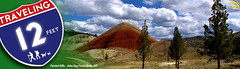
In lieu of the subject, we will be posting different photos/panoramas of our trips in the title header of our blog page. The header will also be clad with our BRAND NEW SPANKING LOGO!!! (Did you know that "Traveling 12 Feet" is now an official business???) Here's the fun part: you get to randomly rotate these images when you click it! So watch out for this upcoming photo feature! (Here's a 'little' teaser of what it looks like - with incomplete logo elements)


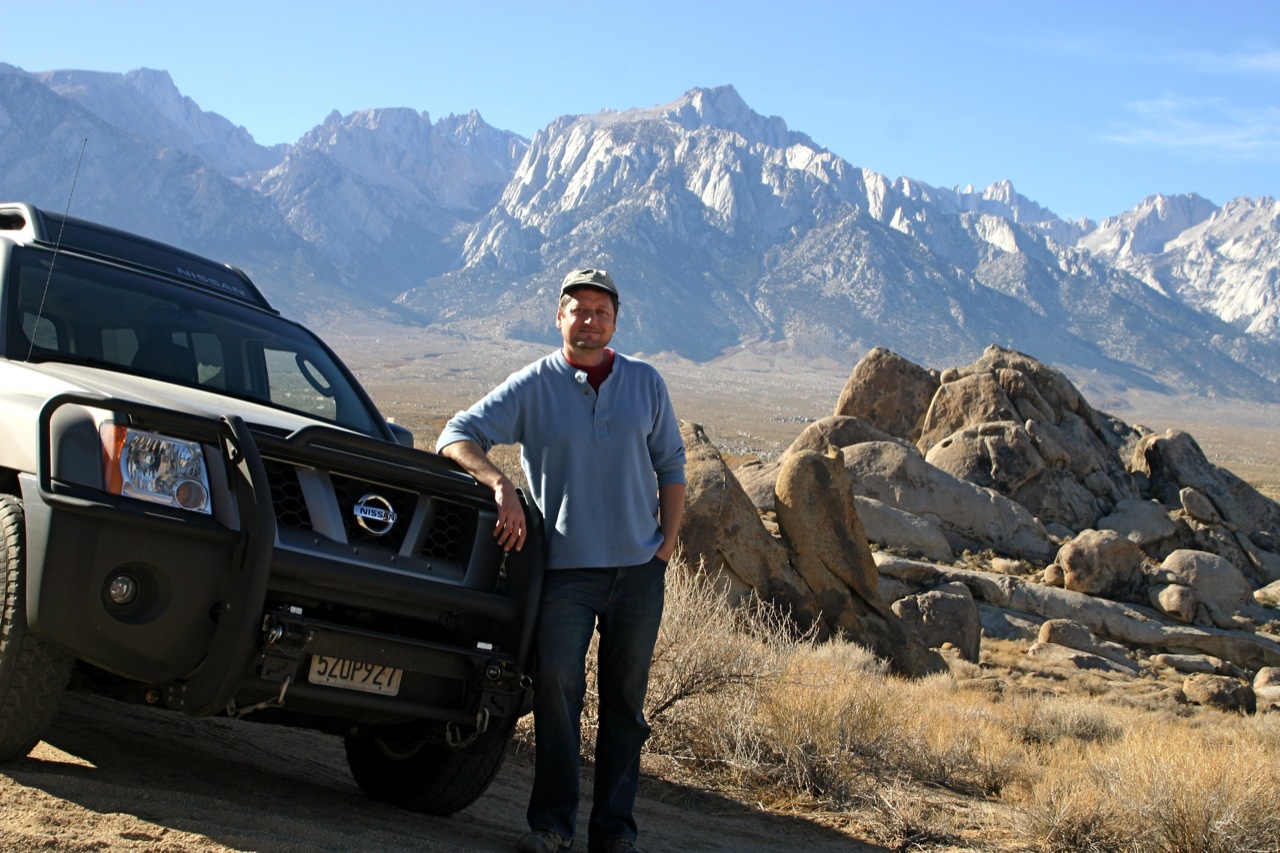
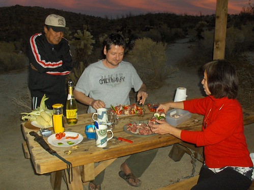
Finally we head back to Emeryville, and after putting the RV in storage, we drove in the Xterra very excited and looking forward to the next trip -- 
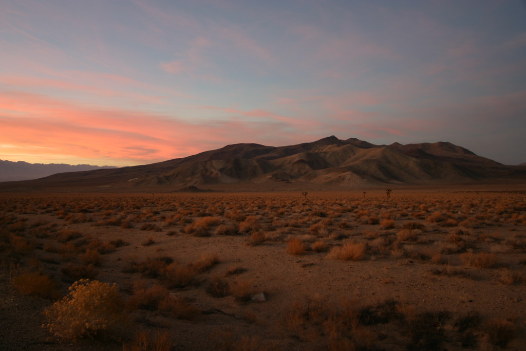
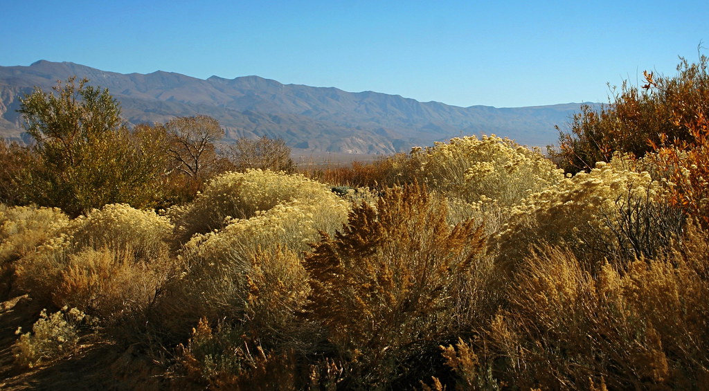
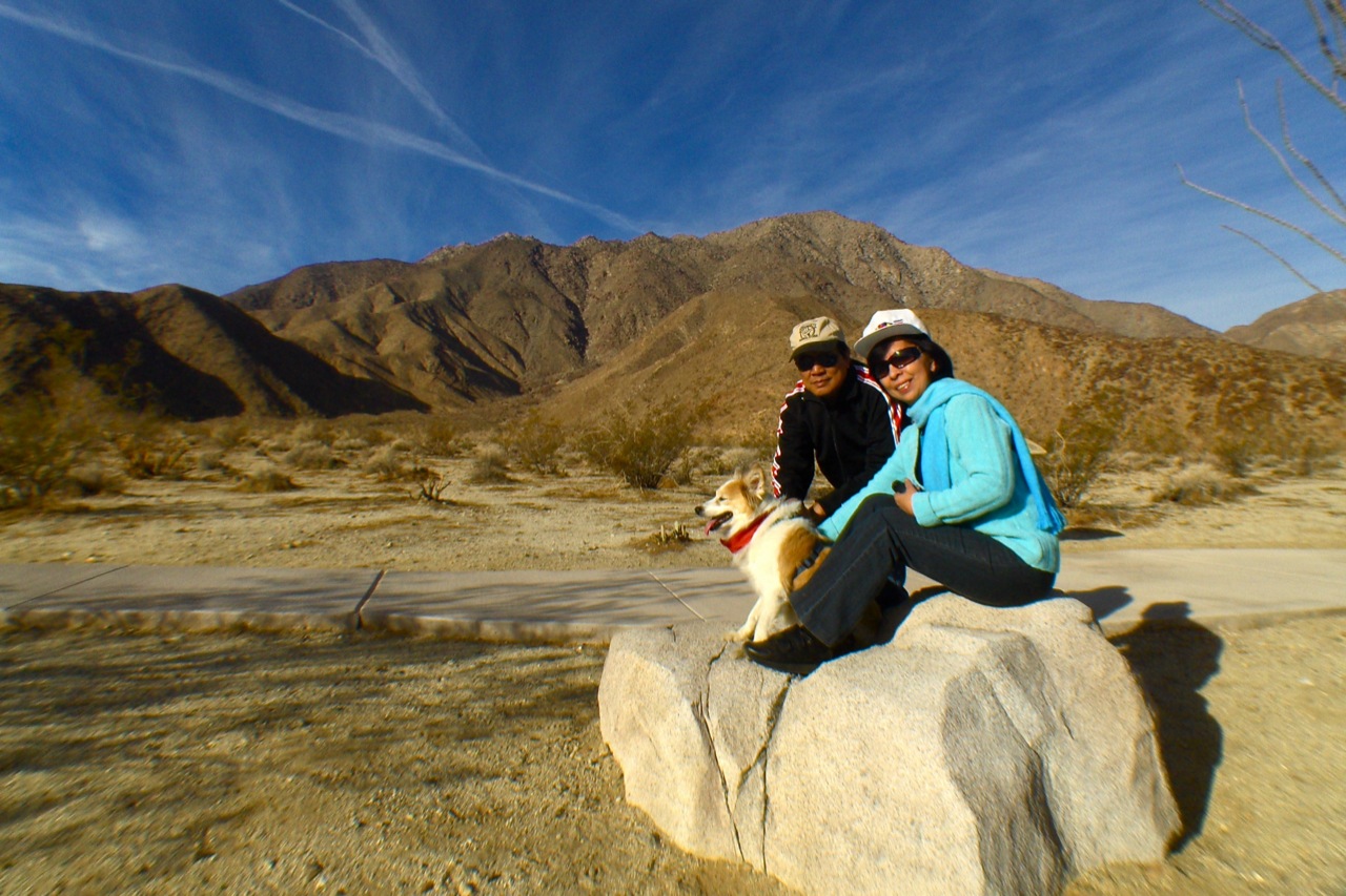
our fall travel/vacation starts next week!!! We are heading down south to Death Valley and Saline Valley, also to make a side trip to see my parents in San Diego, and possibly Anza Borrego, the Salton Sea, and/or the 
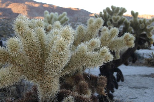
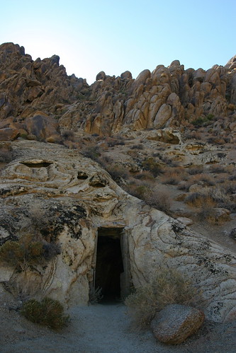
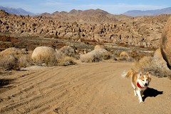
Joshua Tree National Park. We can't wait, it's just a few days away!!! We will update you guys as much as possible, but in the meantime, take a look at how we travel in the Xterra:


NEWER POST OLDER POSTS HOME